Capture Up to 10,000 Square km in a Single Flight

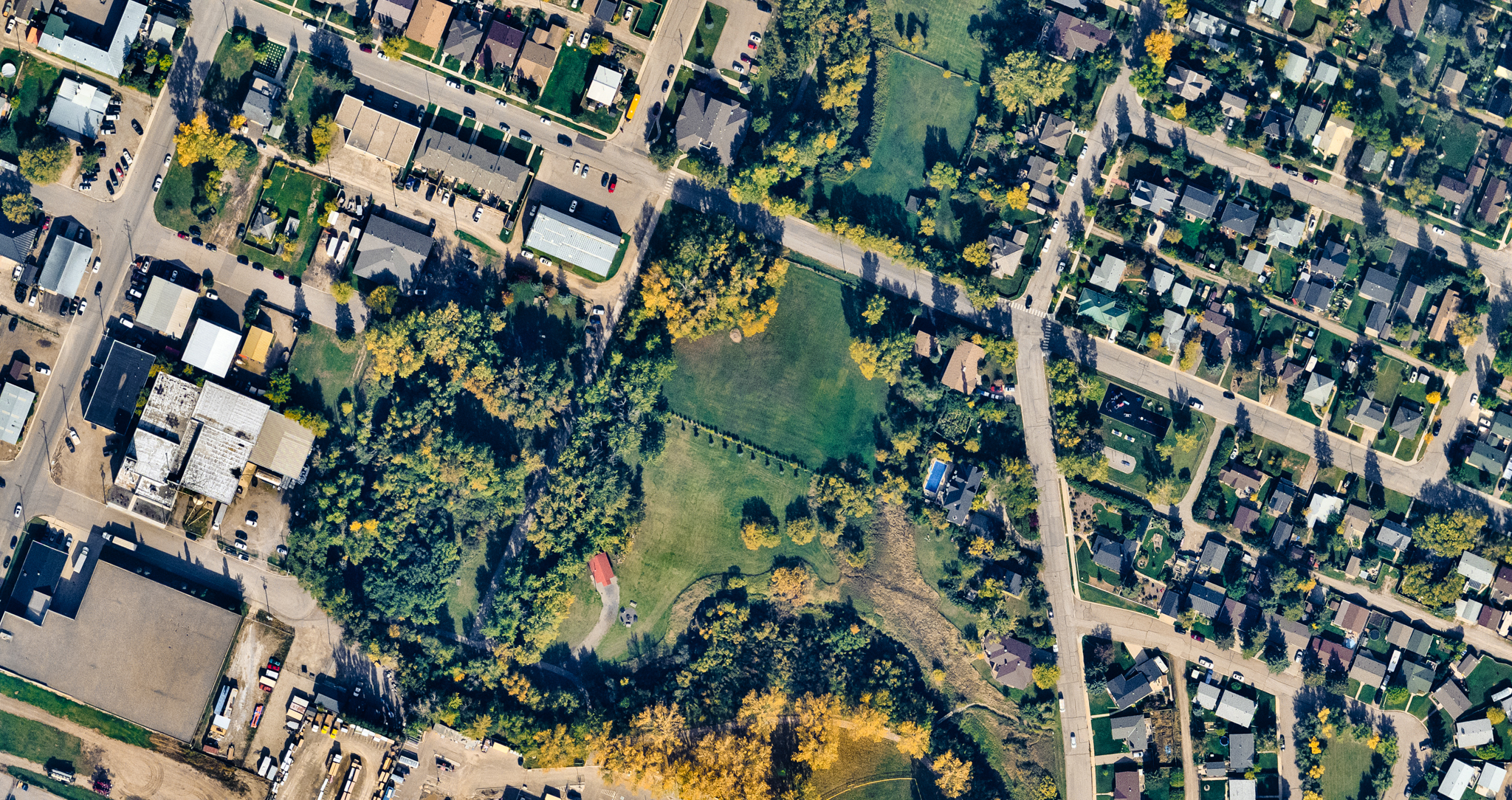
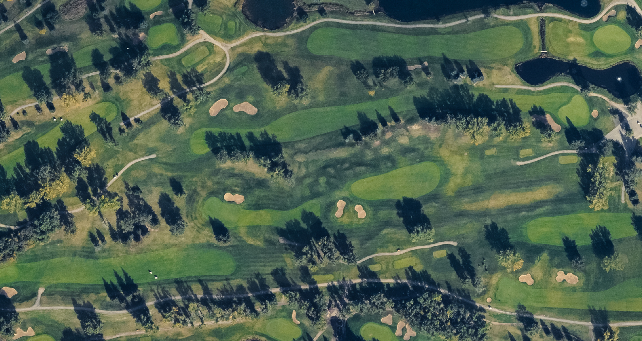
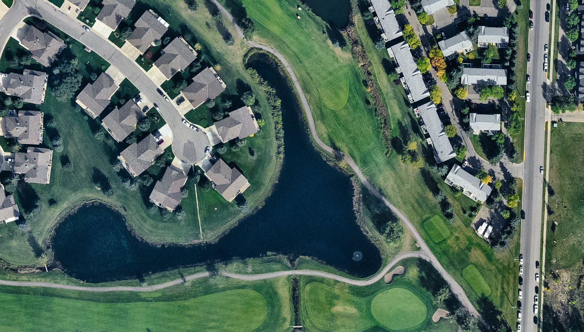
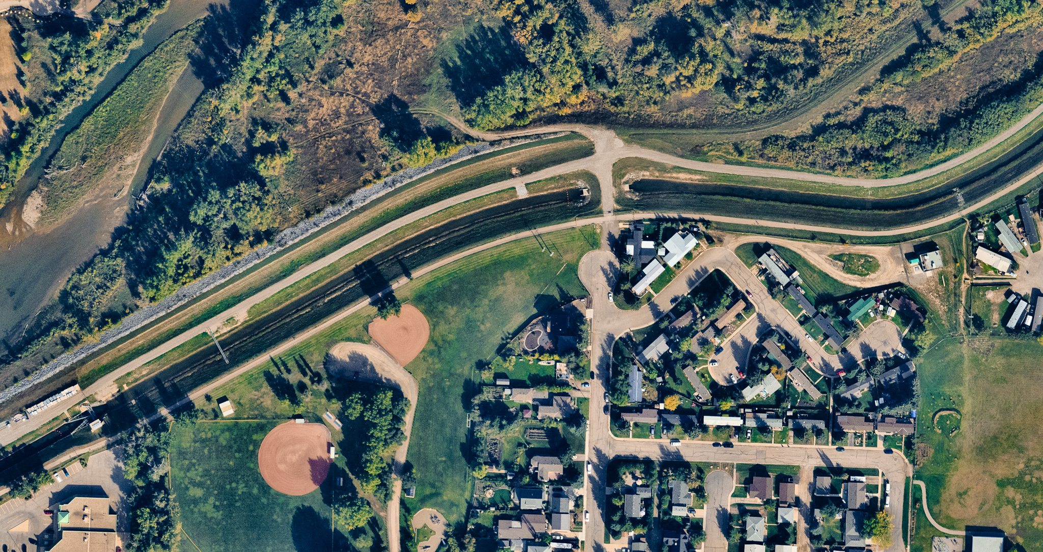
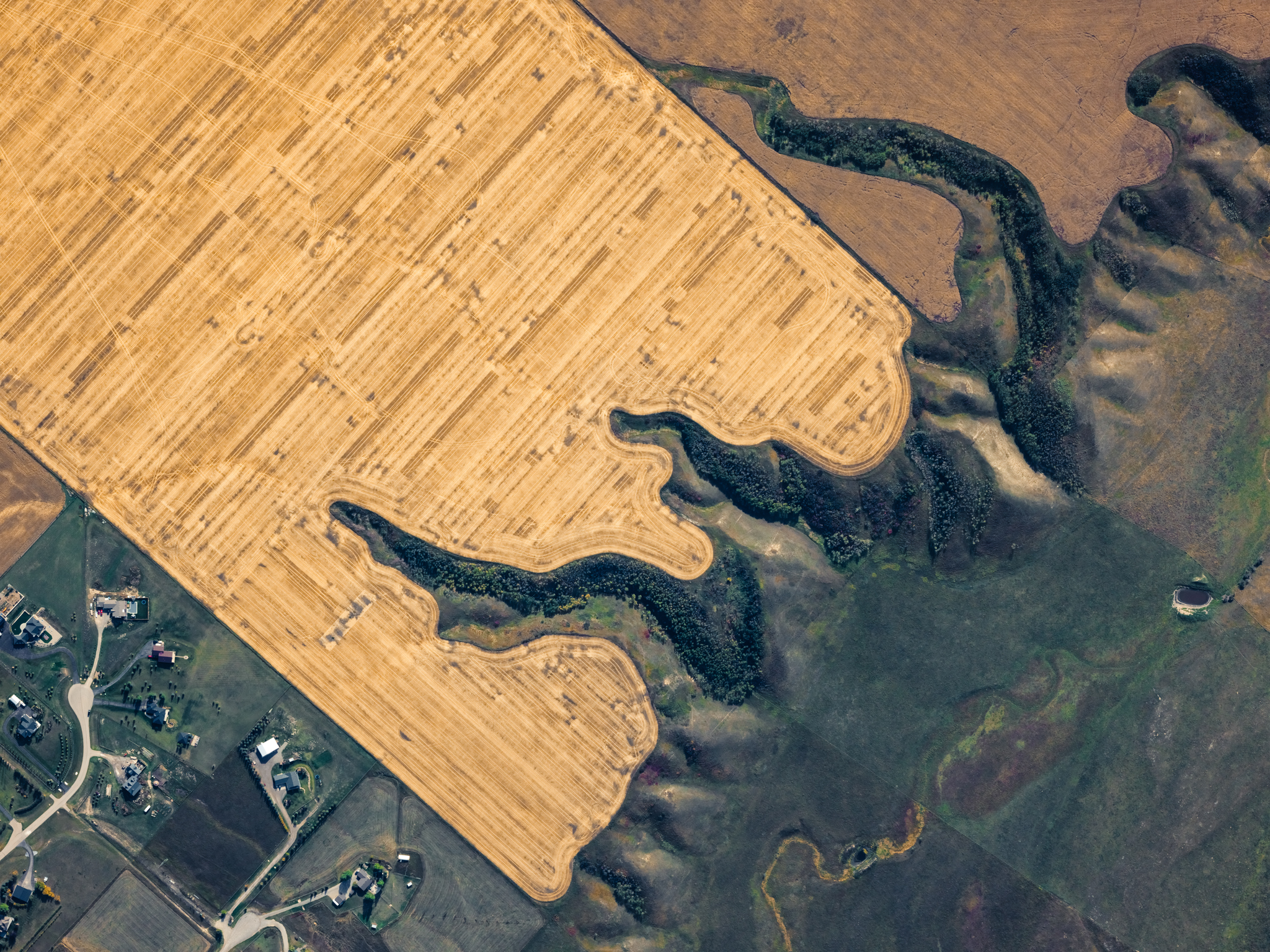
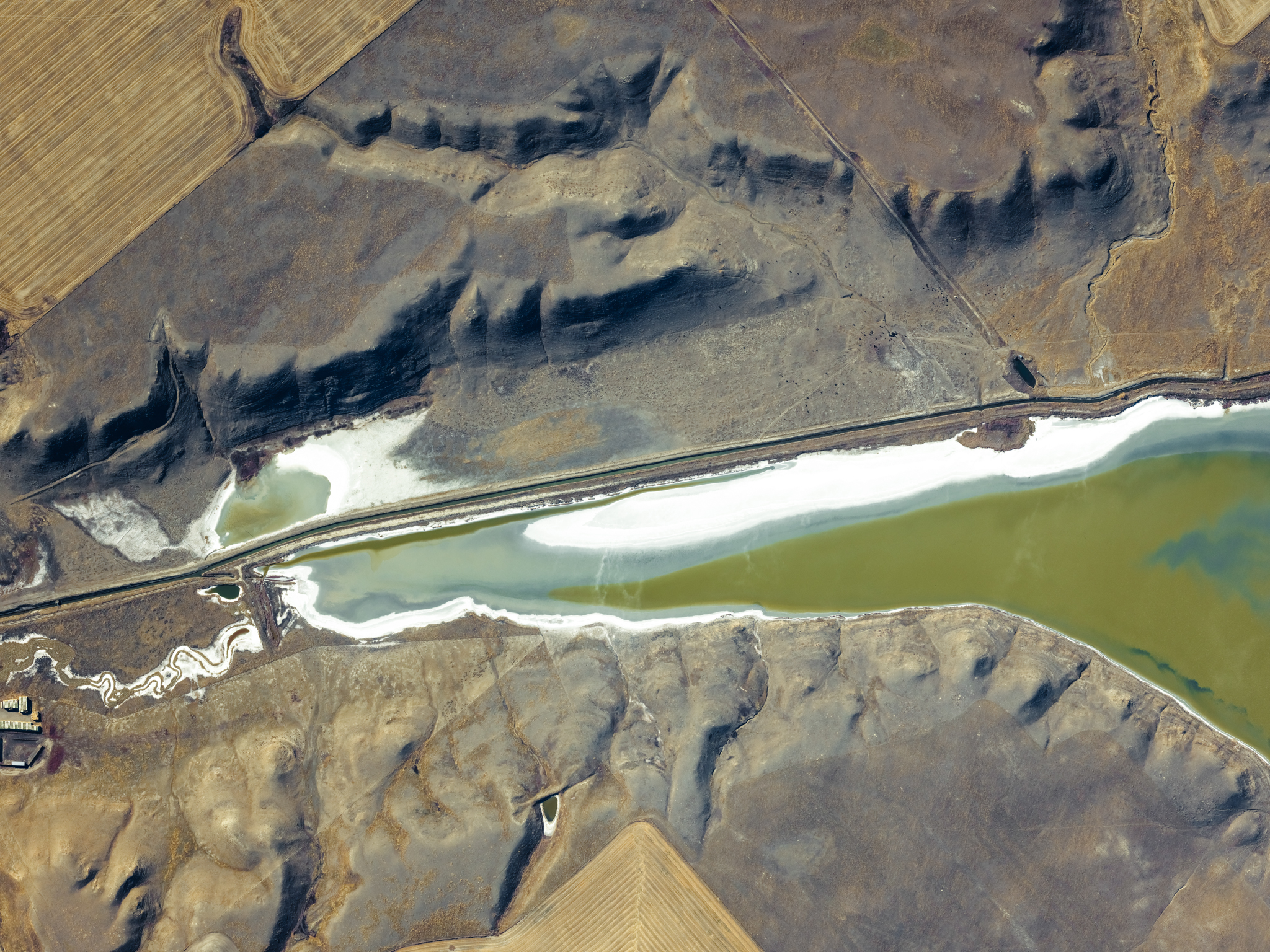
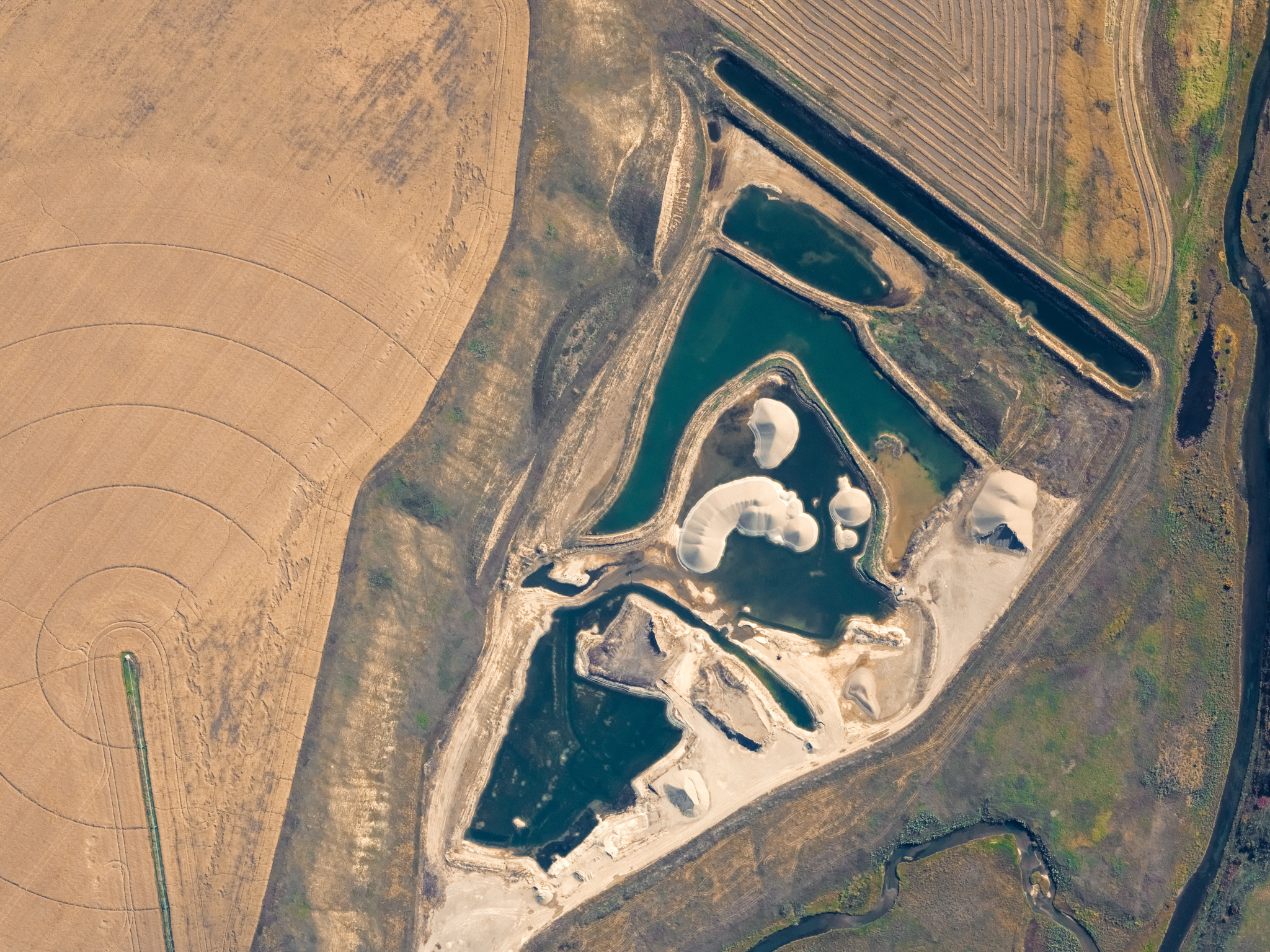
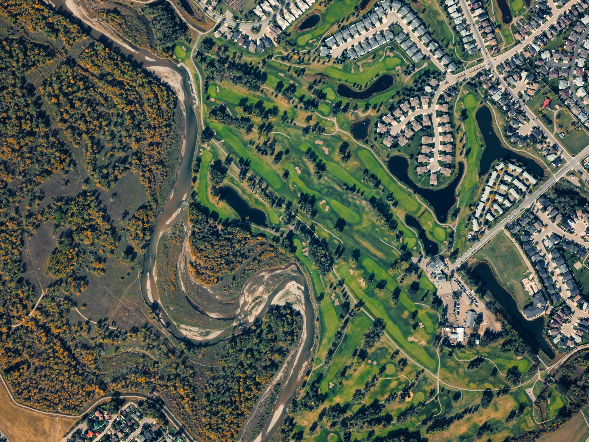
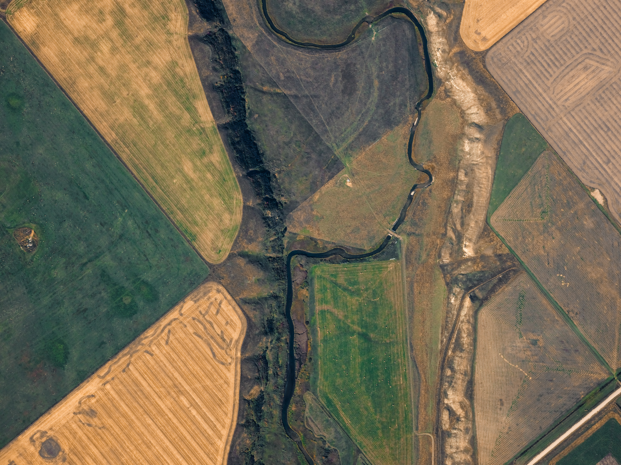
Cost-effective wide area coverage provides 10 cm RGB and NIR imagery. The camera’s multi-look capability allows the rapid creation of orthorectified images, elevation models, analytics, and more.

Task the Learjet Like a Satellite

But with More Speed and Control

Unlike traditional remote sensing, which can take six months or more to deliver usable data, our streamlined approach enables rapid production of orthorectified images, elevation models, and analytics—helping you make timely decisions without the wait.

Speed Meets Quality

We’ve perfected a system where speed doesn’t mean cutting corners. IO Imagery is designed to deliver both rapid turnaround and exceptional quality.

Wide-Area Coverage

Capable of mapping 10,000 square kilometers a single flight.

High-Resolution Imagery

10 cm RGB and NIR, enabling detailed insights.

Clear Pricing

Pay only for your specific area of interest, with per-kilometer or per-area pricing options.

Customizable Areas

Tailored collection for linear corridors or irregular shapes, avoiding the need to purchase unnecessary data.

Fast Turnaround

Initial data delivery starts within days, significantly faster than satellite alternatives.

The Journey with IO Imagery

Task the Jet

We prepare the contract and flight schedules for your area of interest.

Acquisition

Data collection begins after deployment based on the project’s requirements. 

Processing

Data processing begins after 24 hours of collection. 

Delivery

Orthorectified imagery and DSM delivered in cloud-optimized formats.