From hurricanes and floods to landslides and dam breaches, IO Imagery delivers on-the-ground situational awareness within hours, so you can deploy teams immediately.
Rapid data delivery for post-event emergency response and recovery.
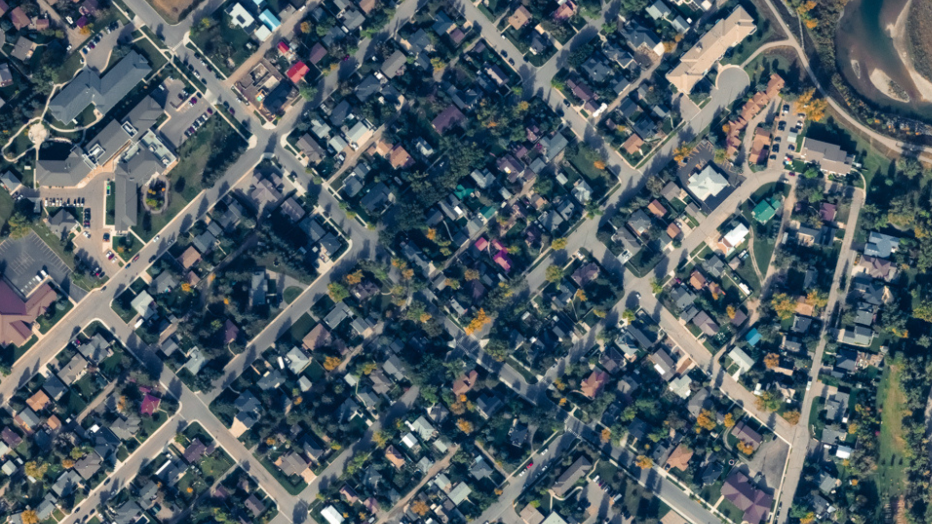
Damage Assessment
Ultra-high-resolution supports the identification of blocked roads, collapsed buildings, and infrastructure damage.
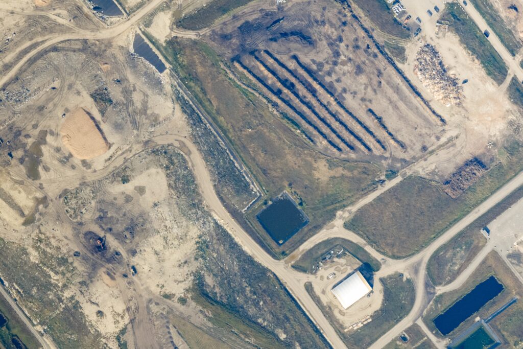
Risk Forecasting
Detailed, actionable imagery to monitor potential threats for secondary disasters beyond the initial impact.
Debris Modelling
Assess the volume of structural, vegetative and appliance debris that will need to be removed and managed.
Recovery Planning
Baseline data for recovery planning, so your responder teams can prioritize recovery and reconstruction efforts.
Post-Event Monitoring for Recovery and Reconstruction
Unfortunately, disasters leave a major mark on a community. The reconstruction phase is imperative for communities to recover. When the skies clear, IO Imagery can give you a daily picture of how affected areas are impacted and how they make progress.
The Journey with IO Imagery
Task the Jet
If you can predict the storm coming or not, we are prepared to launch for data collection at any moment.
Acquisition & Processing
As soon as it’s safe to fly, we collect imagery in less than 6 hours and then data processing begins.
Delivery
Data is delivered within 24 hours of collection, so response teams can act quickly.
PRODUCT
IO Disaster Response
10 cm RGB & NIR imagery, 20 cm DSM
Within 24 hours after acquisition, georeferenced data is delivered
ORI & DSM is delivered rapidly after acquisition
COG Geo TIFF standard
Open Data Licensing
Minimum AOI 2,000 square kilometres
Opportunity to utilize dual payload bays for additional sesnors